The Potwar Plateau, Salt Range, Indus Plain, and Desert Areas
From the Environment of Pakistan curriculum
The Potwar Plateau, Salt Range, Indus Plain, and Desert Areas
TL;DR
You'll learn about Pakistan's key geographical features: the elevated Potwar Plateau, the mineral-rich Salt Range, the fertile Indus Plain, and diverse desert regions. These areas significantly influence Pakistan's climate, agriculture, economy, and population distribution. Understanding them helps you grasp the country's physical and human geography.
1. The Mental Model
Think of Pakistan as a vast natural canvas. It has ancient uplifted areas (plateau), rugged mineral belts (salt range), a huge river-fed agricultural heartland (plain), and harsh dry regions (deserts), each with unique characteristics.
2. The Core Material
You're going to explore four major physical regions of Pakistan, each playing a crucial role in its geography and development.
Potwar Plateau
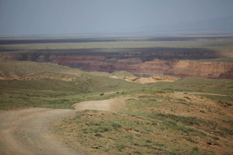
Photo by Alexey Demidov on Pexels
This is an elevated region in northern Pakistan, situated between the Indus River and the Jhelum River. It's an eroded, dissected plateau, meaning it's been worn down over time by water and wind, creating a rolling landscape with ravines and hills.
- Formation: It's formed from soft sedimentary rocks like sandstone and shale.
- Significance: It's known for its oil and gas fields, making it an economically important area. Historically, it's also a significant archaeological site with evidence of early human settlements.
- Agriculture: Rainfall is erratic, so agriculture is largely rain-fed (barani) and less intensive than in the plains.
Salt Range
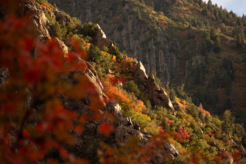
Photo by Alex Moliski on Pexels
Running south of the Potwar Plateau, the Salt Range is a mountain range famous for its extensive salt deposits. It's a key geological feature, showing older rock layers pushed upwards.
- Formation: Formed by the thrusting of ancient salt beds and overlying sedimentary rocks.
- Significance: Home to the Khewra Salt Mine, one of the oldest and largest salt mines in the world. It also contains deposits of coal, gypsum, and limestone.
- Landscape: Characterized by rugged hills, deep gorges, and some sparse vegetation.
Indus Plain
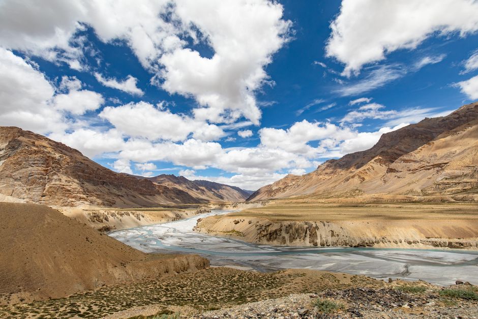
Photo by Akshit Garg on Pexels
This is the most dominant and agriculturally vital feature of Pakistan. It's a vast, flat, and fertile area created by the deposits of the Indus River and its tributaries. It extends almost the entire length of Pakistan from north to south.
- Subdivisions:
- Upper Indus Plain: From the Potwar Plateau down to Mithankot. It's largely fed by the five rivers of Punjab (Jhelum, Chenab, Ravi, Sutlej, Beas - though Beas is mostly in India). Extensive irrigation systems (canals) make this area the "breadbasket" of Pakistan.
- Lower Indus Plain: From Mithankot to the Arabian Sea. The river here flows slowly, depositing fine silt. It's also highly irrigated, primarily for rice and cotton.
- Significance: This plain supports a huge population and is the agricultural backbone of the country, producing major crops like wheat, rice, cotton, and sugarcane. It's also where most of Pakistan's major cities are located.
Desert Areas
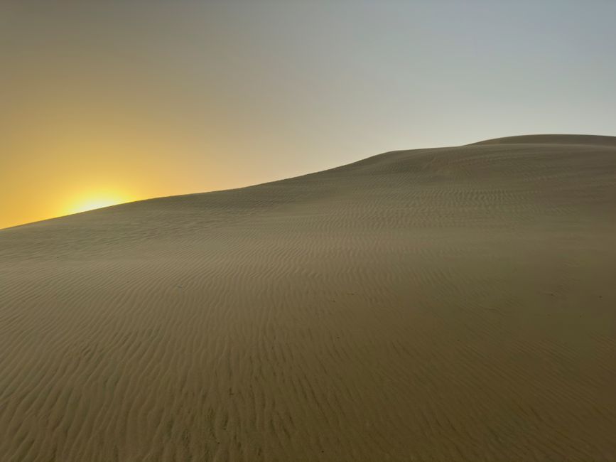
Photo by Engin Akyurt on Pexels
Pakistan has several distinct desert regions, each with unique characteristics but generally defined by aridity, sparse vegetation, and extreme temperatures.
- Thar Desert: Located in the southeastern part of Pakistan (and western India). It's a large, sandy desert, often referred to as the "Great Indian Desert." It has moving sand dunes and some scrub vegetation.
- Cholistan Desert: Lies in the southern part of Punjab, bordering the Thar. It's an extension of the Thar and also characterized by sand dunes.
- Thal Desert: Situated between the Indus and Jhelum/Chenab rivers in Punjab. It's a smaller desert, formed in the doab (land between two rivers) due to lack of rainfall.
- Balochistan Deserts: Numerous small, stony, and sandy deserts are scattered across Balochistan, such as the Kharan Desert and the Makran Coastal Range deserts. These are generally colder in winter and hotter in summer compared to the sandy deserts of Punjab/Sindh.
Here's how these regions relate to each other:
graph TD
    A["Potwar Plateau (Eroded Uplands, Oil/Gas)"] --> B["Salt Range (Mineral Rich Hills, Salt Mines)"]
    B --> C["Upper Indus Plain (Fertile, Irrigated, Punjab)"]
    C --> D["Lower Indus Plain (Fertile, Irrigated, Sindh)"]
    D --> E["Arabian Sea Coast"]
    C -.-> F["Thal Desert (Between Rivers)"]
    D -.-> G["Thar Desert (Sandy, SE Pakistan)"]
    C -.-> H["Cholistan Desert (Extension of Thar)"]
    I["Balochistan Plateaus & Mountains"] -.-> J["Balochistan Deserts (Stony, Arid)"]
    J -.-> D
3. Worked Example
Imagine you're a farmer trying to decide where to set up your farm in Pakistan.
- If you choose the Potwar Plateau, you'd likely focus on rain-fed crops like wheat or barley, perhaps with some livestock, knowing that irrigation is limited. You'd also be aware of the undulating terrain and potentially shallower soils.
- If you choose the Salt Range, farming would be very difficult due to the rugged, rocky terrain and mineral-rich soils (which can be poor for crops). Your primary interest might be mining or quarrying, not agriculture.
- If you choose the Indus Plain, particularly the Upper Indus Plain, you'd find extensive canal irrigation systems, deep fertile alluvial soils, and a relatively flat landscape. This is where you'd grow high-yield crops like rice, wheat, sugarcane, or cotton, making it a highly productive farm.
- If you choose the Thar Desert, your farming options would be extremely limited. You might try to raise livestock like camels or goats, and perhaps grow some drought-resistant crops during the short monsoon season, relying on scarce groundwater. Life here would be about adapting to extreme aridity and heat.
4. Key Takeaways
- The Potwar Plateau is an elevated, eroded region rich in oil and gas, with mostly rain-fed agriculture.
- The Salt Range is a mineral-rich mountain belt, famous for salt mining and forming a geological boundary.
- The Indus Plain is Pakistan's agricultural heartland, a vast, fertile, and heavily irrigated area producing major crops.
- The Indus Plain is subdivided into the Upper and Lower Indus Plains, differing mainly in tributary influence and primary crops.
- Pakistan's deserts, including Thar, Cholistan, Thal, and those in Balochistan, are characterized by aridity, sparse vegetation, and extreme temperatures.
- These geographical features significantly influence population density, economic activities, and agricultural practices across Pakistan.
Common Mistakes to Avoid:
- Don't confuse the Potwar Plateau's eroded nature with actual mountains; it's uplifted but dissected.
- Don't forget the Salt Range's significance beyond just salt; it also has coal and gypsum.
- Don't underestimate the role of irrigation in making the Indus Plain fertile; it's not naturally uniformly wet.
- Don't think all deserts in Pakistan are just sandy; Balochistan's deserts are often stony and cold in winter.
5. Now Try It
Imagine you are a geographer tasked with explaining to a foreign aid worker why most of Pakistan's population lives in one specific region and what the primary economic activity there is. Write a short paragraph (5-7 sentences) identifying that region, explaining why it supports a large population, and outlining its main economic contributions.
Success looks like: You've correctly identified the Indus Plain, linked its fertility and water availability to population density, and mentioned agriculture as its dominant economic activity, perhaps even naming a few key crops.
Frequently asked about The Potwar Plateau, Salt Range, Indus Plain, and Desert Areas
More from Environment of Pakistan
Get the full Environment of Pakistan curriculum
Clone the complete plan to your dashboard for unlimited AI-generated notes, practice quizzes, and a personalised revision schedule.
Create Free Account