Western Mountains and Balochistan Plateau
From the Environment of Pakistan curriculum
Western Mountains and Balochistan Plateau
TL;DR
Pakistan's western mountains and the Balochistan Plateau are key geographical features, heavily influencing the country's climate, culture, and resource distribution. These regions are characterized by arid conditions, rugged terrain, and a complex geological history. Understanding their geography helps explain settlement patterns, resource challenges, and strategic importance.
1. The Mental Model
Think of these regions as a natural fortress on Pakistan's western border: dry, rocky, and tough to cross, but full of unique ecosystems and cultural heritage shaped by their isolation and harsh environment.
2. The Core Material
You're looking at a huge area on Pakistan's western side, separating it from Afghanistan and Iran. This isn't one continuous mountain range, but a series of ranges and a vast plateau that link together.
The Western Mountains: A Series of Ranges
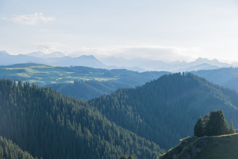
Photo by Chris Duan on Pexels
These mountains aren't as tall as the Himalayas but are still very significant. They're generally lower in elevation and receive less rainfall, making them mostly arid or semi-arid. They act as a natural barrier and have historically been important for trade routes and defense.
- North-South Alignment: Most of these ranges run from north to south, which impacts how water flows and where valleys form.
- Key Ranges:
- Safed Koh: Forms part of the border with Afghanistan, known for the Khyber Pass.
- Waziristan Hills: South of Safed Koh, very rugged and remote.
- Sulaiman Mountains: A major range running through Balochistan and Khyber Pakhtunkhwa, known for its dry, barren landscape.
- Kirthar Mountains: Further south, separating the Indus Plain from Balochistan's southern plains.
- Passes: These mountains are famous for their passes (like the Khyber Pass and Bolan Pass), which have been crucial for centuries for movement between Central Asia and the Indian subcontinent.
The Balochistan Plateau: Arid and Resource-Rich
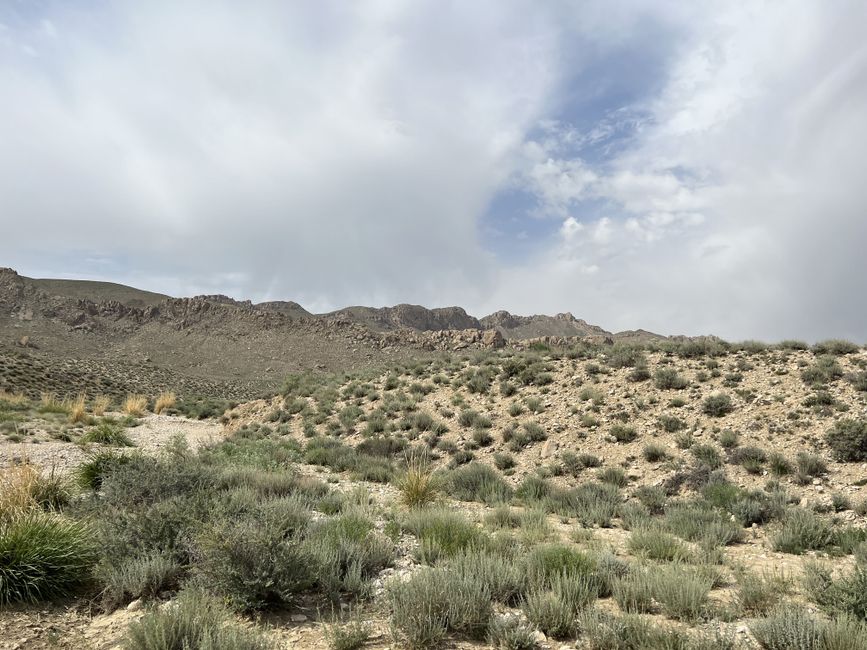
Photo by Jahanzaib Khan on Pexels
To the west of the Sulaiman and Kirthar Ranges lies the vast Balochistan Plateau. This is Pakistan's largest province by area, and much of it is this plateau.
- Arid Climate: It's mostly desert and semi-desert, with very low rainfall. Water is a huge issue here.
- Geological Activity: The region is seismically active due to its location near tectonic plate boundaries.
- Basins and Deserts: It contains several internal drainage basins (where rivers don't reach the sea) and vast deserts like the Kharan Desert and Thal Desert (not to be confused with the Thal Desert of Punjab).
- Resources: Despite its aridity, Balochistan is rich in natural resources, especially natural gas (Sui Gas fields), coal, and various minerals.
- Limited Agriculture: Agriculture is mainly concentrated in small irrigated areas or depends on seasonal rainfall (dry farming).
graph TD
    WM["Western Mountains"] --> KPC["Khyber Pass (Safed Koh)"]
    WM --> BPC["Bolan Pass (Sulaiman Range)"]
    WM --> WC["Waziristan Hills"]
    WM --> SC["Sulaiman Mountains"]
    WM --> KC["Kirthar Mountains"]

    BP["Balochistan Plateau"] --> AR["Arid Climate"]
    BP --> MR["Mineral Resources (Gas, Coal)"]
    BP --> IDB["Internal Drainage Basins"]
    BP --> KHD["Kharan Desert"]

    KPC --> HIS["Historical Importance (Trade/Defense)"]
    BPC --> HIS
    WC --> RGT["Rugged Terrain"]
    SC --> RGT
    KC --> RGT

    AR --> WSC["Water Scarcity Challenges"]
    MR --> ECP["Economic Potential"]
    IDB --> LFC["Limited Freshwater Sources"]

    BP --- WM;
    WM --- IDP["Indus River Plain"];
    BP --- IDP;
Climate and Vegetation
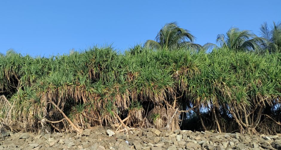
Photo by Nazmul Hassan on Pexels
The climate is predominantly arid to semi-arid. Summers are very hot, and winters can be cold, especially at higher elevations. Vegetation is sparse, consisting mainly of drought-resistant shrubs, grasses, and some scattered trees in more favorable areas. Oases are vital for settlement.
Human Impact and Culture
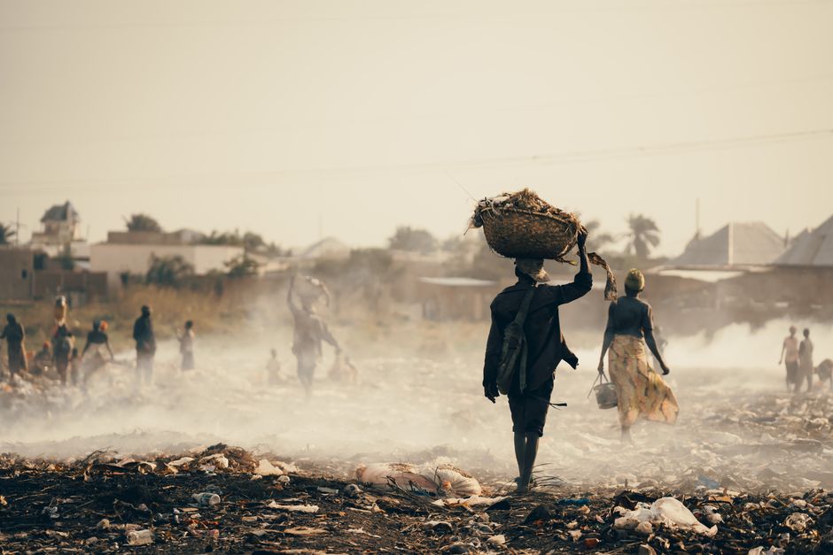
Photo by Bave Pictures on Pexels
The tough environment has shaped unique cultures. Baloch and Pashtun tribes have historically lived here, known for their resilience and strong tribal structures. Settlement is sparse, often around limited water sources or resource extraction sites.
3. Worked Example
Imagine you're an early explorer trying to cross from the Indus Plain into Afghanistan. You'd likely head towards the Khyber Pass, a historical route through the Safed Koh mountain range. You wouldn't find lush forests; instead, you'd navigate a narrow, winding path through barren, rocky hills, constantly aware of limited water and the need for protection. This pass, though difficult, was the most direct route, allowing armies and traders to move for centuries, contrasting sharply with the much longer and hotter journey through the Balochistan Plateau via the Bolan Pass, which opens up to a vast, arid expanse rather than immediate fertile plains.
4. Key Takeaways
- The Western Mountains act as a natural, rugged barrier, defining Pakistan's western border.
- Key mountain passes like Khyber and Bolan have enormous historical and strategic significance.
- The Balochistan Plateau is Pakistan's largest and most arid region, facing severe water scarcity.
- Despite aridity, Balochistan is very rich in natural resources, especially natural gas and minerals.
- The geography has profoundly influenced the cultures, settlement patterns, and economic challenges of the region.
- The climate in these areas is predominantly arid, characterized by hot summers and cold winters.
Common Mistakes to Avoid:
- Don't confuse the Western Mountains with the much higher Himalayan ranges.
- Avoid thinking of Balochistan as universally flat; it's a plateau with its own mountain ranges and basins.
- Don't underestimate the impact of aridity on life and development in these regions.
- Don't forget the strategic importance of the passes; they're not just physical features.
5. Now Try It
Research how the modern CPEC (China-Pakistan Economic Corridor) project is attempting to utilize or navigate the geography of the Balochistan Plateau. Specifically, identify one major infrastructure project (e.g., port, highway, railway) within Balochistan and describe how its location and construction are directly influenced by the plateau's rugged terrain, aridity, and resource distribution. What challenges did the engineers face due to these geographical factors? Your successful answer will describe a specific project and link its challenges directly to at least two geographical characteristics of the Balochistan Plateau.
Frequently asked about Western Mountains and Balochistan Plateau
More from Environment of Pakistan
Get the full Environment of Pakistan curriculum
Clone the complete plan to your dashboard for unlimited AI-generated notes, practice quizzes, and a personalised revision schedule.
Create Free Account