Geological Formation, Glaciers, and Drainage Systems
From the Environment of Pakistan curriculum
Geological Formation, Glaciers, and Drainage Systems
TL;DR
Pakistan's diverse landscapes result from the collision of tectonic plates, creating high mountains and vast plains. Glaciers in these northern mountains are crucial freshwater sources for its extensive river systems. These rivers, especially the Indus, form the backbone of the country's agriculture and ecology.
1. The Mental Model
Imagine Pakistan as a giant canvas sculpted by immense forces: huge landmasses crashing together, creating towering peaks that hold ancient ice, which then melts and carves out the rivers feeding the rest of the land.
2. The Core Material
Pakistan's geography is fascinating, largely shaped by powerful geological processes. It's nestled in a unique spot where several tectonic plates meet and have been colliding for millions of years.
Geological Formation: The Plate Collision Story
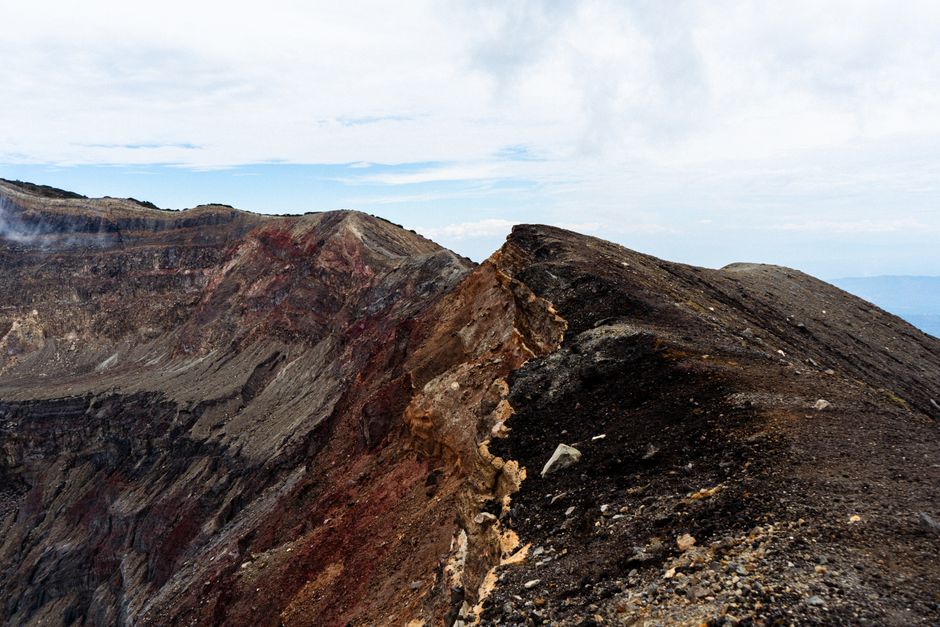
Photo by Edu Raw on Pexels
The most significant event is the ongoing collision between the Indian Plate and the Eurasian Plate. About 50-55 million years ago, the Indian Plate began pushing northwards into the Eurasian Plate. This slow, continuous crunching is what uplifted the mighty Himalayas, Karakoram, and Hindu Kush mountain ranges in Pakistan's north. This collision isn't just about mountains; it also causes frequent earthquakes in the region.
Think of it like two massive cars crashing head-on, but in slow motion over millions of years, with the crumpled metal forming mountains. South of these ranges, the land gently slopes, creating vast plains formed by sediments carried down by rivers.
Glaciers: The Water Towers of Pakistan
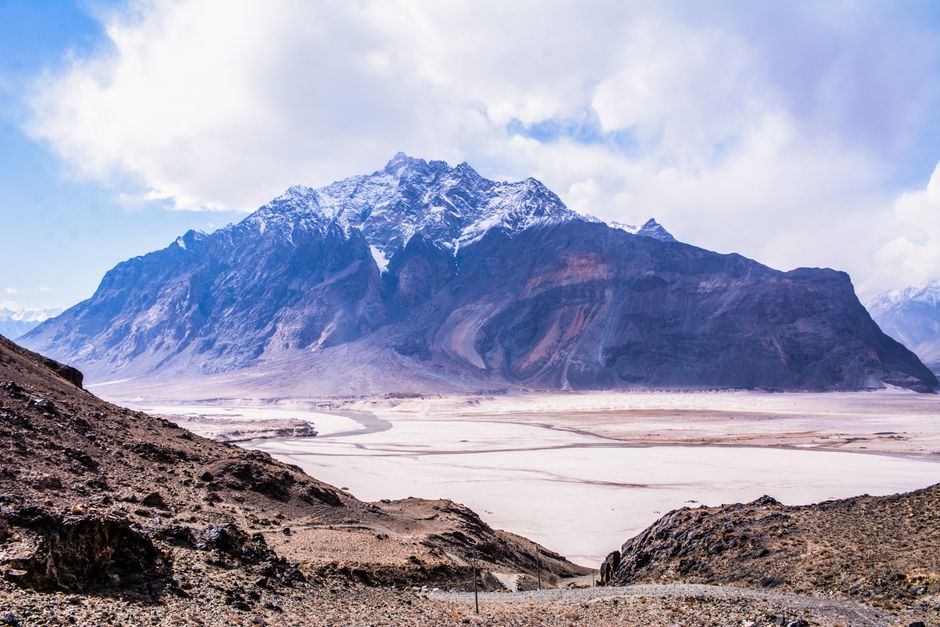
Photo by USA Studio on Pexels
High in the Karakoram and Himalayan ranges, you'll find some of the world's largest glaciers outside the polar regions. These massive bodies of ice are incredibly important because they act as natural reservoirs, storing vast amounts of freshwater.
When temperatures rise, these glaciers melt, feeding the rivers below. This meltwater is absolutely vital for Pakistan, especially during the dry seasons when monsoon rains are scarce. They're often called the "water towers of Asia" because so many major rivers in the region originate from them. However, climate change is a big concern here, as increased melting can lead to initial floods and then long-term water scarcity.
Drainage Systems: The Lifeblood
Photo by Magda Ehlers on Pexels
Pakistan's drainage system is dominated by one of the world's great rivers: the Indus River. Most other rivers in Pakistan are tributaries that eventually flow into the Indus.
The Indus River originates in Tibet, flows through India, and then enters Pakistan in the north. It collects water from numerous glaciers and smaller rivers as it winds its way south through the country, eventually emptying into the Arabian Sea.
This river system is incredibly important for Pakistan. It irrigates vast agricultural lands, provides drinking water, supports ecosystems, and generates hydroelectric power. The areas around the Indus and its tributaries are among the most fertile and densely populated parts of the country.
Here's a simplified look at how these elements connect:
graph TD
    A["Indian Plate (Moving North)"] --> B["Collides with"];
    B["Collides with"] --> C["Eurasian Plate"];
    C --> D["Uplift of Mountains (Himalayas, Karakoram, Hindu Kush)"];
    D --> E["Formation of Glaciers (High Altitude)"];
    E --> F["Glacial Meltwater"];
    F --> G["Feeds Rivers (Indus, Jhelum, Chenab, etc.)"];
    G --> H["Forms Drainage Systems (Indus Basin)"];
    H --> I["Supports Agriculture & Population"];
    I --> J["Flows to Arabian Sea"];
3. Worked Example
Let's trace the journey of a single drop of water originating from a glacier in the Karakoram range.
Imagine a small snowflake falling on a peak in the Baltoro Glacier, near K2, at an elevation of around 5,000 meters. Over years, this snowflake compacts into ice, becoming part of the glacier. As summer approaches, the sun's warmth causes a tiny bit of this ice to melt. This meltwater droplet starts flowing downwards, joining other droplets, forming a small stream.
This stream gains volume as it flows down the steep slopes, merging with other glacial melt streams. It eventually reaches the Braldu River, a fast-flowing mountain river. The Braldu River then joins the Shyok River, which in turn flows into the mighty Indus River near Skardu.
From there, our water droplet (now part of the vast Indus) travels thousands of kilometers south. It passes through Gilgit-Baltistan, then enters Punjab, flowing past cities like Attock and Sukkur. Along its journey, some of its water is diverted through canals to irrigate wheat fields in Punjab or rice paddies in Sindh. Finally, after a journey that could take weeks or months, it mixes with the salty waters of the Arabian Sea, completing its cycle.
4. Key Takeaways
- Pakistan's northern mountains formed from the collision of the Indian and Eurasian tectonic plates.
- The Himalayas, Karakoram, and Hindu Kush ranges are results of this ongoing geological activity.
- Glaciers in these high mountains are critical freshwater sources, feeding Pakistan's major rivers.
- The Indus River system is the central drainage network, vital for agriculture and sustenance.
- Climate change poses a threat to glacial melt, impacting Pakistan's long-term water security.
-
Earthquakes are common in northern Pakistan due to continuous tectonic plate movement.
-
Common mistakes to avoid:
- Confusing river origin with its final destination.
- Underestimating the role of plate tectonics in shaping the entire country.
- Forgetting the interconnectedness of glaciers, rivers, and human activity.
- Not recognizing the Indus River's dominance in the drainage system.
5. Now Try It
Take a blank map of Pakistan (or sketch one). Based on what you've learned, draw and label: the approximate location of the major mountain ranges (Himalayas, Karakoram, Hindu Kush), at least two significant glaciers, the path of the Indus River, and where it drains into the sea. Success looks like accurately representing these key geographical features and their general relationships on your map.
Frequently asked about Geological Formation, Glaciers, and Drainage Systems
More from Environment of Pakistan
Get the full Environment of Pakistan curriculum
Clone the complete plan to your dashboard for unlimited AI-generated notes, practice quizzes, and a personalised revision schedule.
Create Free Account