Foundational Concepts of Global Geography
From the Countries curriculum
TL;DR
Global geography explores Earth's features, populations, and phenomena, understanding their distribution and relationships. It uses tools like maps and spatial analysis to interpret how natural and human elements interact across different scales. Mastering these basics helps you make sense of the world's diverse landscapes and cultures.
1. The Mental Model
Think of global geography as understanding "where things are" and "why they're there." It's like having a superpower that lets you see the connections between mountains, rivers, cities, and people across the entire planet. This helps you understand the bigger picture of how our world works.
2. The Core Material
Global geography is a huge field, but it boils down to a few core ideas that help us describe, understand, and analyze our world.
Physical vs. Human Geography

Photo by MART PRODUCTION on Pexels
The first big split is between physical geography and human geography.
- Physical Geography: Focuses on natural features and processes. Think mountains, rivers, oceans, climate, weather patterns, ecosystems, and natural disasters. It's about the Earth's natural systems.
- Human Geography: Focuses on human activity and its impact on the Earth, and how the Earth influences human life. This includes population distribution, culture, languages, religions, economic activities, cities, political systems, and how humans modify the environment.
Key Geographic Concepts

Photo by Zulfugar Karimov on Pexels
-
Location:
- Absolute Location: A precise point on Earth, usually given by coordinates (latitude and longitude). For example, New York City is approximately 40.71° N, 74.01° W. It's like a house number and street name for any spot on Earth.
- Relative Location: Describes a place in relation to other places. For example, "New York City is south of Boston" or "France is west of Germany." This gives context.
-
Place:
- More than just location, "place" describes the human and physical characteristics that make a location unique. What does it look, feel, sound, smell, and taste like? What are the cultural elements? What's the climate? "Paris is a romantic city with famous landmarks like the Eiffel Tower" describes its place.
-
Region:
- An area defined by one or more common characteristics. Regions help us organize and understand large parts of the world.
- Formal Regions: Defined by a shared trait, like a country's political boundaries, a climate zone (e.g., the Sahara Desert), or a language group (e.g., the French-speaking world).
- Functional Regions: Organized around a central point and its surrounding areas, often with a specific purpose. Think of a city and its commuter belt, or a newspaper's circulation area.
- Perceptual Regions: Defined by people's feelings and attitudes about an area. "The South" in the U.S. or "The Middle East" are examples; their boundaries are often fuzzy and subjective.
-
Movement:
- Refers to the transfer of people, goods, and ideas from one place to another. This includes migration, trade, communication, and the spread of cultures. Think about how goods are shipped globally, how ideas spread through the internet, or how people travel.
-
Human-Environment Interaction:
- How humans adapt to, modify, and depend on the environment, and how the environment affects human activities.
- Adaptation: People wearing warm clothes in cold climates.
- Modification: Building dams, clearing forests for agriculture.
- Dependence: Relying on rivers for water or fertile land for farming.
Geographic Tools
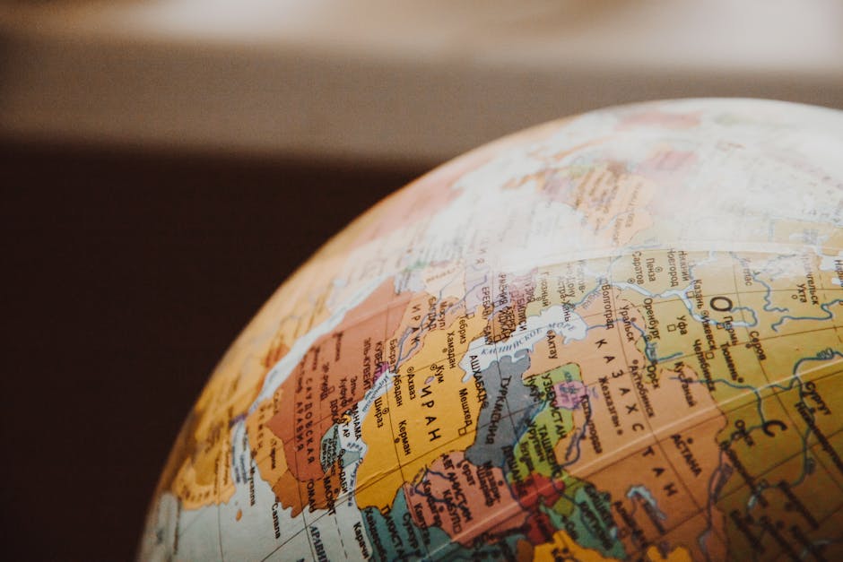
Photo by NastyaSensei on Pexels
Geographers use various tools to gather, analyze, and present spatial information.
- Maps: Visual representations of an area. They show physical features, human features, or thematic data. Understanding map projections (how the spherical Earth is flattened) is crucial as they all involve some distortion.
- Globes: Spherical models of Earth, providing the most accurate representation of distances, directions, and areas.
- Geographic Information Systems (GIS): Computer systems that capture, store, analyze, and display geographic data. Think of it as advanced digital mapping that can layer different types of information (population density, elevation, road networks) to reveal patterns.
- Remote Sensing: Gathering information about Earth's surface without direct contact, often using satellites or aerial photography.
Here's a diagram showing the core concepts and their relationships:
graph TD
    A["Global Geography"] --> B["Physical Geography"]
    A --> C["Human Geography"]

    B --> B1["Natural Features (Mountains, Rivers)"]
    B --> B2["Climate & Weather"]
    B --> B3["Ecosystems"]

    C --> C1["Population & Culture"]
    C --> C2["Economic Activities"]
    C --> C3["Political Systems"]

    A --> D["Key Geographic Concepts"]
    D --> D1["Location (Absolute, Relative)"]
    D --> D2["Place (Unique Characteristics)"]
    D --> D3["Region (Formal, Functional, Perceptual)"]
    D --> D4["Movement (People, Goods, Ideas)"]
    D --> D5["Human-Environment Interaction"]

    A --> E["Geographic Tools"]
    E --> E1["Maps & Globes"]
    E --> E2["GIS"]
    E --> E3["Remote Sensing"]
3. Worked Example
Let's consider the Amazon Rainforest in South America using these concepts:
- Absolute Location: Roughly between 0° to 10° S latitude and 45° to 75° W longitude, spanning multiple countries.
- Relative Location: West of the Atlantic Ocean, east of the Andes Mountains, primarily in Brazil, Peru, and Colombia.
- Place: Characterized by extremely high biodiversity, dense tropical rainforest, high rainfall, and a hot, humid climate. It's home to indigenous tribes, unique flora and fauna, and the Amazon River.
- Region: It's a formal region defined by its ecosystem and climate (tropical rainforest biome). It can also be seen as a functional region centered around the Amazon River basin.
- Movement: Goods (like timber, agricultural products) are moved out, and people migrate into and out of the area. Ideas about conservation and resource management also move globally concerning the Amazon.
- Human-Environment Interaction:
- Adaptation: Indigenous people have adapted their lifestyles to the forest's resources, living sustainably for centuries.
- Modification: Large-scale deforestation for cattle ranching, agriculture (soy), and logging has significantly modified the environment. Dams built for hydroelectric power also alter river flow.
- Dependence: Local and global communities depend on the Amazon for resources (medicinal plants, food) and its role in global climate regulation (carbon sink).
4. Key Takeaways
- Geography isn't just memorizing capitals; it's understanding the "where" and "why."
- Physical geography covers natural elements like mountains and climate, while human geography covers human elements like populations and cultures.
- Location (absolute/relative), Place, Region, Movement, and Human-Environment Interaction are the five big ideas to understand any part of the world.
- Maps, globes, GIS, and remote sensing are essential tools for visualizing and analyzing geographic data.
- Everything on Earth is interconnected; understanding these foundational concepts helps you see those connections.
Common Mistakes to Avoid:
* Confusing "location" with "place"; location is specific coordinates, place is the unique character.
* Thinking of regions as only political boundaries; they can be based on many shared characteristics.
* Ignoring the "why" behind geographic patterns; always ask what factors contribute to what you observe.
* Underestimating the impact of human actions on the environment, and vice versa.
5. Now Try It
Choose a country you know a little about (e.g., Japan, Egypt, Canada). Spend 15 minutes describing it using the five key geographic concepts: Location (absolute and relative), Place, Region (what kind of region is it?), Movement (what moves in/out?), and Human-Environment Interaction (how do people adapt/modify/depend on its environment?). What does success look like? You'll have a concise, well-structured paragraph for each concept, using specific examples from your chosen country.
Frequently asked about Foundational Concepts of Global Geography
Study this next
Get the full Countries curriculum
Clone the complete plan to your dashboard for unlimited AI-generated notes, practice quizzes, and a personalised revision schedule.
Save this course free