Weather, Climate, and Biogeography
From the Geography curriculum
TL;DR
Weather describes short-term atmospheric conditions, while climate is the long-term average weather pattern of a region. These climatic patterns profoundly influence the distribution of life on Earth, defining distinct biomes. Understanding their interplay helps us grasp why certain plants and animals thrive in specific places.
1. The Mental Model
Think of weather as your daily outfit choice: it changes constantly based on the day's conditions. Climate is your entire wardrobe: it reflects what's generally needed where you live over the long haul. This wardrobe dictates what kind of life can "dress" itself to survive there.
2. The Core Material
Let's break down these three interconnected concepts.
Weather vs. Climate

Photo by Michal Pech on Pexels
Weather refers to the atmospheric conditions at a particular place and time. It's what you experience day-to-day: temperature, humidity, precipitation (rain, snow), wind, and atmospheric pressure. Weather can change very quickly, from sunny to stormy in a few hours.
Climate, on the other hand, is the average weather pattern of a region over a long period, typically 30 years or more. It considers not just the averages, but also the extremes and frequency of weather events. For example, a desert climate is characterized by consistently high temperatures and very low precipitation, even if it might rain once a year.
The key difference is time scale.
Factors Influencing Climate
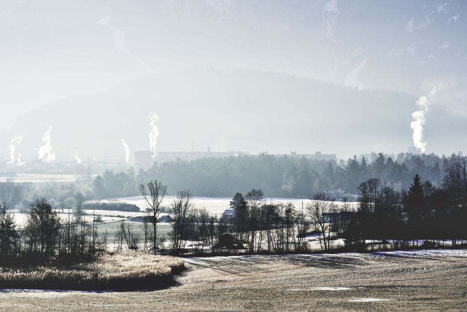
Photo by eberhard grossgasteiger on Pexels
Several key factors determine a region's climate:
- Latitude: Places closer to the equator receive more direct sunlight, leading to warmer climates. As you move towards the poles, sunlight strikes at a more oblique angle, spreading energy over a larger area and resulting in colder temperatures.
- Altitude: Temperatures generally decrease with increasing altitude (height above sea level). This is why mountain tops are often colder than valleys.
- Proximity to Water Bodies: Large bodies of water (oceans, large lakes) moderate temperatures. Water heats up and cools down more slowly than land, leading to smaller temperature fluctuations in coastal areas compared to inland regions.
- Ocean Currents: These massive movements of water transport heat around the globe. Warm currents can bring milder temperatures to higher latitudes (like the Gulf Stream warming parts of Europe), while cold currents can cool coastal areas.
- Topography (Mountain Ranges): Mountains create "rain shadows." As moist air rises over one side of a mountain, it cools, condenses, and releases precipitation (the "windward" side). By the time the air descends the other side (the "leeward" side), it's dry, leading to arid conditions.
- Vegetation: Plants influence local climate by releasing moisture into the atmosphere (transpiration) and affecting albedo (how much sunlight is reflected). Denser vegetation often leads to more humid and slightly cooler local conditions.
Biogeography and Biomes
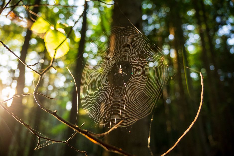
Photo by Michał Robak on Pexels
Biogeography is the study of the distribution of species and ecosystems in geographical space and through geological time. It looks at where living things are found and why they're found there. Climate is a primary driver of biogeographical patterns.
A biome is a large geographical area characterized by specific climate conditions, which in turn support distinct types of plant and animal life adapted to those conditions. Biomes are essentially large-scale ecosystems.
Here's how climate dictates biome distribution:
graph TD
    A["Solar Radiation & Earth's Tilt"] --> B["Global Temperature Patterns"]
    B --> C["Atmospheric Circulation"]
    B --> D["Ocean Currents"]
    C --> E["Global Precipitation Patterns"]
    D --> E
    E --> F["Regional Climate (Temperature & Precipitation)"]
    F --> G["Plant Growth & Adaptations"]
    F --> H["Animal Adaptations"]
    G & H --> I["Dominant Vegetation Types"]
    I --> J["Biome Formation (e.g., Desert, Rainforest)"]
    J --> K["Distribution of Species (Biogeography)"]
Common terrestrial biomes include:
- Tropical Rainforest: Hot, high annual rainfall, incredibly biodiverse. (e.g., Amazon, Congo Basins)
- Desert: Very hot days, cold nights, very low rainfall, sparse, specialized vegetation. (e.g., Sahara, Atacama)
- Grassland (Savanna, Prairie): Moderate rainfall, hot summers, cold winters, dominated by grasses. (e.g., African Savanna, North American Prairies)
- Temperate Forest: Distinct seasons, moderate rainfall, deciduous trees (lose leaves in autumn). (e.g., Eastern North America, Western Europe)
- Taiga (Boreal Forest): Cold, long winters, short cool summers, coniferous trees. (e.g., Canada, Siberia)
- Tundra: Extremely cold, low precipitation, permafrost, treeless, low-growing vegetation. (e.g., Arctic regions)
Each biome supports species that have evolved specific adaptations to survive its unique climate. For example, cacti in deserts have thick, waxy stems to store water and minimize evaporation, while polar bears in the Arctic have thick fur and blubber for insulation.
3. Worked Example
Imagine you're exploring two cities: Seattle, Washington (USA) and Phoenix, Arizona (USA).
Seattle:
* Location: Coastal, high latitude (47.6° N), influenced by the Pacific Ocean and a warm ocean current.
* Climate (long-term): Temperate marine climate. Mild, wet winters; relatively dry, mild summers. Annual precipitation around 990mm, mostly as rain. Average January temp: 5°C; Average July temp: 19°C.
* Biome: Temperate Rainforest / Temperate Deciduous Forest transition. You'd expect lots of evergreen conifers (like Douglas firs), ferns, and mosses due to consistent moisture. Animals adapted to forests and moderate temperatures.
Phoenix:
* Location: Inland, lower latitude (33.4° N), far from major moderating water bodies, situated in a valley surrounded by mountains.
* Climate (long-term): Hot desert climate. Extremely hot, dry summers; mild winters. Annual precipitation around 200mm, often in short, intense bursts. Average January temp: 13°C; Average July temp: 36°C.
* Biome: Sonoran Desert. You'd expect drought-adapted plants like saguaro cacti, mesquite trees, and creosote bushes. Animals would be nocturnal, burrowing, or have specialized water conservation strategies (like desert foxes).
Even on a single day, the weather in Seattle might be a drizzle and 10°C, while in Phoenix it could be sunny and 20°C. But looking at the climate over decades, you see clear, consistent differences driven by latitude, proximity to water, and topography, which then explain the vastly different biogeography and biomes of the two cities.
4. Key Takeaways
- Weather is the daily atmospheric state; climate is the long-term average weather, including extremes.
- Climate is influenced by latitude, altitude, proximity to water, ocean currents, topography, and vegetation.
- Biogeography studies where life is found and why, with climate as a primary controlling factor.
- Biomes are large regions defined by specific climate conditions and the adapted plant and animal communities they support.
- Different biomes like deserts, rainforests, and tundras have distinct temperature and precipitation patterns.
- Organisms develop specific adaptations to thrive in their biome's unique climate challenges.
- Understanding climate helps predict the types of ecosystems and species found in different parts of the world.
Common mistakes to avoid:
- Confusing weather with climate; remember the time scale difference.
- Thinking a biome's climate is static; it can vary within the biome and change over geological time.
- Underestimating the role of non-temperature factors like precipitation in defining biomes.
- Forgetting that climate factors interact; it's rarely just one thing determining a region's climate.
5. Now Try It
Choose two distinct regions on Earth that you find interesting (e.g., the Amazon rainforest and the Gobi desert, or Norway's coast and inland Siberia). For each region, list at least three specific climate factors at play (like latitude, ocean currents, or mountain ranges). Then, based on those factors, describe the typical climate and predict what kind of biome you'd expect to find there, giving an example of a plant or animal adaptation for that biome. Your goal is to logically connect the climate factors to the resulting life forms.
Frequently asked about Weather, Climate, and Biogeography
Study this next
Get the full Geography curriculum
Clone the complete plan to your dashboard for unlimited AI-generated notes, practice quizzes, and a personalised revision schedule.
Save this course free