Advanced Surveying Techniques
From the surveying-ii, surveying-ii practice and plotting, material testing laboratory, construction management and entrepreneurship curriculum
TL;DR
Advanced surveying techniques leverage modern technology like GPS, drones, and laser scanners to collect highly accurate and dense spatial data efficiently. These methods significantly improve the speed, precision, and detail of surveys compared to traditional techniques. Mastering them is crucial for modern construction, infrastructure development, and mapping projects.
1. The Mental Model
Think of advanced surveying as upgrading from a tape measure to a laser scanner with built-in GPS. You're moving from measuring individual points manually to capturing entire landscapes and structures with incredible detail and geographic accuracy, often in less time and with fewer people on the ground.
2. The Core Material
Advanced surveying techniques build upon the fundamental principles you've learned, but they incorporate sophisticated instruments and data processing. Let's break down some key ones:
Global Navigation Satellite Systems (GNSS) - GPS
Photo by Mike Bird on Pexels
GNSS, which includes GPS (Global Positioning System) from the US, GLONASS (Russia), Galileo (Europe), and BeiDou (China), uses signals from orbiting satellites to determine precise ground positions.
- How it works: Receivers on the ground measure the time it takes for signals from multiple satellites to reach them. By knowing the satellite's exact position and the signal travel time, the receiver can calculate its own coordinates.
- Applications: Establishing control points, topographic surveys, stakeouts, and guiding autonomous construction equipment.
- Accuracy: From several meters (standalone GPS) down to a few centimeters or even millimeters with advanced techniques like Real-Time Kinematic (RTK) and Post-Processed Kinematic (PPK), which use a base station to correct errors.
Total Stations with Robotic and Reflectorless Capabilities

Photo by Khoiru Ummah Kendari 24 on Pexels
You're familiar with total stations. Advanced versions offer significant enhancements:
- Robotic Total Stations: These can track and follow a prism automatically, allowing a single surveyor to operate the instrument and collect data. This boosts efficiency and reduces labor costs.
- Reflectorless Total Stations: They can measure distances to surfaces without a prism, using laser pulses. This is incredibly useful for inaccessible points, measuring building facades, or hazardous areas.
Laser Scanning (LiDAR)

Photo by cottonbro studio on Pexels
LiDAR (Light Detection and Ranging) uses laser pulses to measure distances to the Earth's surface or objects. It collects millions of points per second, creating a dense "point cloud" representing the 3D geometry of an area.
- How it works: A laser scanner emits pulses and measures the time it takes for each pulse to return after hitting an object. This "time of flight" is converted into distance. Combined with the scanner's angle, it determines the 3D coordinates of each point.
- Platforms: Can be terrestrial (mounted on a tripod), mobile (mounted on a vehicle), or airborne (mounted on an aircraft or drone).
- Applications: Highly detailed topographic mapping, as-built surveys of structures, volume calculations, deformation monitoring, and creating Building Information Models (BIM).
Unmanned Aerial Vehicles (UAVs) / Drones
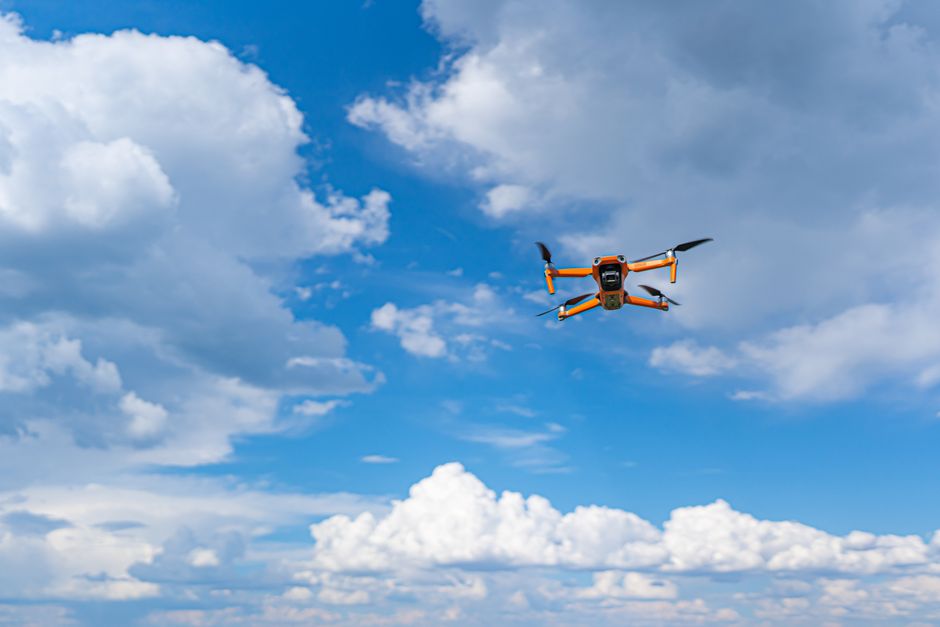
Photo by Castorly Stock on Pexels
Drones equipped with cameras (for photogrammetry) or LiDAR sensors are revolutionizing surveying.
- Photogrammetry with Drones: Drones capture overlapping aerial images. Specialized software then processes these images to create 3D models, orthophotos (geometrically corrected aerial images), and digital elevation models (DEMs).
- LiDAR with Drones: Drones carrying compact LiDAR units provide rapid and accurate 3D data capture, especially useful in vegetated areas where photogrammetry might struggle to see the ground.
- Advantages: Speed, safety (for hazardous areas), ability to cover large areas quickly, and cost-effectiveness for many projects.
- Applications: Site progress monitoring, volume calculations, topographic mapping, infrastructure inspection, and environmental surveys.
Data Processing and Software
Collecting data is only half the battle. Advanced software is essential for processing, analyzing, and visualizing the vast amounts of data generated by these techniques.
- GNSS software: For post-processing kinematic data, network adjustments.
- Point cloud software: For registering, cleaning, segmenting, and modeling point cloud data from laser scanners or drone LiDAR.
- Photogrammetry software: For stitching drone images, generating orthophotos, DEMs, and 3D models.
- CAD/GIS software: For integrating surveyed data with designs, creating maps, and performing spatial analysis.
Here's a simplified process flow for a drone-based topographic survey:
graph TD
    A["Project Planning (Area, Resolution, GCPs)"] --> B["Drone Flight & Data Capture (Images/LiDAR)"]
    B --> C["Ground Control Point (GCP) Survey (with GNSS/Total Station)"]
    C --> D{"Data Processing Software"}
    D -- "Photogrammetry" --> E["Generate Orthophoto, DSM/DTM, 3D Model"]
    D -- "LiDAR" --> F["Process Point Cloud (Filter, Classify)"]
    E --> G["Extract Features (Contours, Buildings, Roads)"]
    F --> G
    G --> H["Data Integration (CAD/GIS) & Final Deliverables"]
3. Worked Example
Let's say you need to determine the volume of a stockpile of aggregate at a construction site quickly and accurately for billing.
Traditional Method (Comparison): You'd likely use a total station to shoot a grid of points on the ground around the pile and then points along the pile's edges and crest. This is time-consuming, labor-intensive, and might not capture fine details.
Advanced Method (Drone Photogrammetry):
- Preparation: You'd set out a few easily identifiable Ground Control Points (GCPs) around the stockpile, accurately surveying their coordinates using an RTK GNSS receiver. These are crucial for geo-referencing your drone data.
- Drone Flight: You'd plan an autonomous drone flight path to capture highly overlapping images (e.g., 80% front overlap, 70% side overlap) of the stockpile from a suitable altitude (e.g., 50m) to achieve the desired ground sampling distance (GSD).
- Data Processing: You'd load the drone images and the GCP coordinates into photogrammetry software (e.g., Pix4D, Agisoft Metashape). The software processes the images, uses the GCPs to accurately position the model, and generates:
- A dense point cloud of the stockpile and surrounding ground.
- A Digital Surface Model (DSM) representing the top surface of the pile.
- An Orthomosaic (a georeferenced aerial image).
- Volume Calculation: Within the software, you'd define a baseline (or "toe") surface for the stockpile. The software then calculates the volume between this baseline and the DSM of the pile. This provides a highly accurate volume in cubic meters/yards.
- Deliverables: You can then export a volume report, an orthophoto of the site, and even a 3D model for visualization.
This advanced method is faster, safer, provides a more detailed representation of the pile, and often yields more accurate volume results than traditional methods.
4. Key Takeaways
- Advanced surveying leverages GNSS, robotic total stations, laser scanners, and drones for highly efficient and accurate data collection.
- GNSS provides precise positioning, crucial for establishing control and geo-referencing other data.
- Laser scanning (LiDAR) generates dense 3D "point clouds" for detailed surface and object modeling.
- Drones, combined with photogrammetry or LiDAR, offer rapid data acquisition over large or inaccessible areas.
- Sophisticated software is indispensable for processing, analyzing, and visualizing the large datasets produced by these techniques.
- These methods significantly reduce fieldwork time, enhance safety, and improve the detail and accuracy of survey deliverables.
Common mistakes to avoid:
- Not using enough (or properly surveyed) Ground Control Points (GCPs) for drone surveys: This leads to inaccurate geo-referencing and scaling of your drone models.
- Ignoring instrument calibration and regular checks: Even advanced instruments need to be maintained and verified to ensure accuracy.
- Not understanding data accuracy and precision limitations: Each method has inherent accuracies; know what you can achieve and what's required for the project.
- Overlooking safety protocols for drone operations or working with laser equipment: Always prioritize safety.
5. Now Try It
For your next construction management project (even if it's hypothetical), imagine you need to monitor earthwork volumes weekly. Research and outline a detailed plan for how you would use drone photogrammetry to achieve this. Specify what equipment you'd need, what kind of flight parameters (altitude, overlap) you'd consider, and how you'd process the data to get volume reports. What would "success" look like in terms of turnaround time and accuracy?
Frequently asked about Advanced Surveying Techniques
Study this next
Get the full surveying-ii, surveying-ii practice and plotting, material testing laboratory, construction management and entrepreneurship curriculum
Clone the complete plan to your dashboard for unlimited AI-generated notes, practice quizzes, and a personalised revision schedule.
Save this course free