Introduction to Horizontal Distance Measurement
From the Fundamentals of Surveying 1 curriculum
TL;DR
Measuring horizontal distance is fundamental in surveying, establishing the straight-line distance between two points on a horizontal plane. We use various methods, from simple taping to advanced electronic devices, each with its own accuracy and efficiency. Understanding these techniques helps you choose the best approach for different field conditions and project requirements.
1. The Mental Model
Imagine you're trying to figure out how far apart two fence posts are, but only if you could perfectly flatten the ground between them. Horizontal distance in surveying is exactly that: the flat, level distance between two points, ignoring any ups and downs of the terrain itself.
2. The Core Material
Measuring horizontal distance is one of the most basic and crucial tasks in surveying. It forms the backbone for determining positions, areas, volumes, and setting out structures. You're always trying to find the "true" horizontal separation, which often isn't the direct slope distance you'd measure if you just laid a tape on the ground.
Methods of Horizontal Distance Measurement

Photo by Erik Mclean on Pexels
You'll primarily encounter these methods:
-
Direct Methods (Taping): This involves physically measuring the distance with a tape measure or chain. It's straightforward but can be time-consuming and prone to errors if not done carefully.
- Steel Tapes: Common, durable, and available in various lengths (e.g., 30m, 50m).
- Invar Tapes: Made of a nickel-steel alloy, highly resistant to temperature changes, used for high-precision work.
- Common challenges: Sag (tape dips), temperature changes (tape expands/contracts), incorrect tension, misalignment.
-
Indirect Methods: These methods use instruments to determine distance without direct physical contact along the entire line.
- Pacing: Estimating distance by counting your steps. Very rough, used for quick checks or reconnaissance.
- Stadia: Using a transit or theodolite with special crosshairs to read distances on a graduated rod. Relies on optical principles.
- Electronic Distance Measurement (EDM): The most common modern method. Instruments send out electromagnetic waves (infrared, visible light, microwaves) to a reflector and measure the time it takes for the wave to return. Since the speed of light is known, the distance can be calculated.
- Total Stations: Integrate EDM with angle measurement, allowing you to get 3D coordinates.
- Reflectorless EDMs: Can measure distances to surfaces without needing a prism reflector.
Corrections to Measured Distances
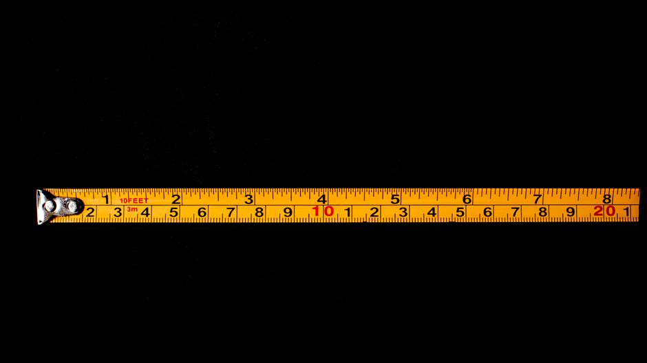
Photo by Nothing Ahead on Pexels
When you measure a distance, especially with a tape, it's rarely perfect. You'll need to apply corrections to get the most accurate horizontal distance.
-
Slope Correction: This is the most critical. When you measure along sloping ground, your tape gives you the slope distance (hypotenuse of a right triangle). You need the horizontal distance (the adjacent side).
- You'll typically measure the vertical angle (zenith angle or vertical angle from horizontal) or the difference in elevation between the two points.
- Formula: $H = S \cdot \cos(\alpha)$ or $H = \sqrt{S^2 - V^2}$, where $H$ is horizontal distance, $S$ is slope distance, $\alpha$ is vertical angle, and $V$ is vertical difference.
-
Temperature Correction: Tapes expand when hot and contract when cold.
- Correction: $C_t = L \cdot \alpha \cdot (T_{meas} - T_{std})$, where $L$ is measured length, $\alpha$ is coefficient of thermal expansion for the tape, $T_{meas}$ is measured temperature, and $T_{std}$ is standard temperature (tape calibrated at).
-
Sag Correction: When a tape is supported only at its ends, it sags. This makes the measured distance appear longer than it actually is. Sag correction is always subtractive.
-
Tension Correction: Tapes are calibrated at a specific tension. If you apply more or less tension, the length changes.
-
Alignment Correction: If the tape isn't perfectly aligned with the line between the two points, the measured distance will be longer.
Here's a simplified process for direct measurement with a tape:
graph TD
    A["Identify Start & End Points"] --> B["Clear Line of Sight (if needed)"]
    B --> C["Align Tape Between Points"]
    C --> D{"Is Ground Level?"}
    D -- "Yes" --> E["Lay Tape Flat & Read"]
    D -- "No" --> F["Break Chain / Slope Taping"]
    F --> G{"Measure Vertical Angle or Elevation Diff."}
    E --> H["Record Measured Distance & Conditions"]
    G --> H
    H --> I["Apply Corrections (Slope, Temp, etc.)"]
    I --> J["Obtain Corrected Horizontal Distance"]
3. Worked Example
Let's say you measured a slope distance of 75.345 meters between two points using a steel tape. You also used a level to find that the difference in elevation between these two points is 3.50 meters. The tape was used at an average temperature of 30°C, and it was calibrated at 20°C. The coefficient of thermal expansion for the tape is $0.0000115 /^\circ C$.
First, let's find the horizontal distance considering only the slope.
We have the slope distance ($S$) and the vertical difference ($V$).
$H = \sqrt{S^2 - V^2}$
$H = \sqrt{(75.345)^2 - (3.50)^2}$
$H = \sqrt{5676.877 - 12.25}$
$H = \sqrt{5664.627}$
$H = 75.264 \text{ meters}$
Now, let's apply the temperature correction to this horizontal distance (or the original slope distance, it's often applied to the measured length before other corrections for simplicity). We'll apply it to the 75.264m for consistency after slope correction.
Correction: $C_t = L \cdot \alpha \cdot (T_{meas} - T_{std})$
$C_t = 75.264 \cdot 0.0000115 \cdot (30 - 20)$
$C_t = 75.264 \cdot 0.0000115 \cdot 10$
$C_t = 0.00865 \text{ meters}$ (This is an expansion, so the tape measured slightly short)
The corrected horizontal distance would then be:
$H_{corrected} = H + C_t$
$H_{corrected} = 75.264 + 0.00865$
$H_{corrected} = 75.273 \text{ meters}$
4. Key Takeaways
- Horizontal distance is the flat, level distance between two points, crucial for all surveying computations.
- Direct methods like taping are physical and require careful technique, while indirect methods like EDM are faster and more precise.
- EDM instruments (including Total Stations) are the standard for accurate distance measurement in modern surveying.
- Always measure slope distance, then calculate the horizontal distance using vertical angles or elevation differences.
- Corrections (slope, temperature, sag, tension) are essential to achieve accurate results, especially with taping.
- The required accuracy of your measurement dictates which method and corrections you need to apply.
Common Mistakes to Avoid:
- Not applying slope correction: This is probably the biggest source of error in taping on uneven ground.
- Ignoring temperature effects on steel tapes: Tapes expand and contract significantly with temperature changes.
- Applying incorrect tension: Too much or too little tension causes the tape to stretch or shorten from its calibrated length.
- Poor alignment: Not keeping the tape perfectly straight between points will always result in a measured distance longer than the true value.
5. Now Try It
Imagine you're surveying a boundary line on a gentle slope. You've taped a segment, getting a slope distance of 45.678 meters. You also used a clinometer to find the vertical angle from horizontal is +3°30' (3 degrees and 30 minutes).
Your task is to calculate the corrected horizontal distance for this segment, ignoring other corrections for now. What success looks like: You should arrive at a single numerical value for the horizontal distance, accurate to three decimal places.
Frequently asked about Introduction to Horizontal Distance Measurement
More from Fundamentals of Surveying 1
Get the full Fundamentals of Surveying 1 curriculum
Clone the complete plan to your dashboard for unlimited AI-generated notes, practice quizzes, and a personalised revision schedule.
Save this course free