Materials Science and Geospatial Technologies
From the Fundamentals of Civil Engineering curriculum
TL;DR
Materials science focuses on understanding how materials behave and designing them for specific civil engineering applications, while geospatial technologies provide powerful tools for mapping, analyzing, and managing spatial data relevant to these projects. Both fields are crucial for informed decision-making in infrastructure development, from material selection to site planning and monitoring. You'll learn how to pick the right materials and then use advanced mapping to put them in the right place.
1. The Mental Model
Imagine you're building a LEGO set. Materials science is about understanding what each LEGO brick is made of, why some are strong and others bendy, and how to create new, better bricks. Geospatial technologies are like having a super-detailed map and GPS, helping you decide exactly where to put each brick and understand the surrounding environment.
2. The Core Material
Civil engineering relies heavily on understanding the behavior of materials under various conditions and utilizing location-based data for planning and execution. These two seemingly distinct fields, materials science and geospatial technologies, often intersect to provide comprehensive solutions.
Materials Science in Civil Engineering
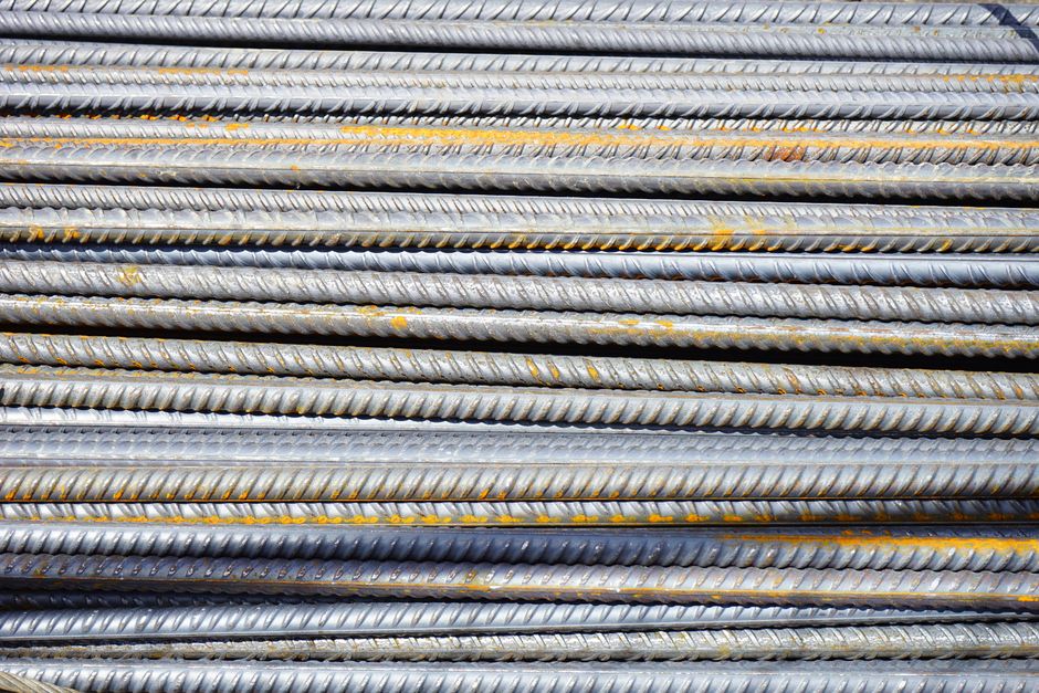
Photo by Pixabay on Pexels
Materials science investigates the structure, properties, processing, and performance of materials. For civil engineers, this means understanding concrete, steel, timber, asphalt, composites, and soils to ensure safety, durability, and cost-effectiveness.
Key Material Properties
- Mechanical Properties: How a material reacts to forces (e.g., strength, stiffness, ductility, hardness).
- Physical Properties: Density, thermal expansion, electrical conductivity.
- Chemical Properties: Corrosion resistance, degradation, reactivity.
- Durability: Resistance to weathering, fatigue, and other long-term environmental effects.
Common Civil Engineering Materials
- Concrete: A composite of cement, aggregates, water, and admixtures. Its strength, workability, and durability are paramount.
- Steel: Used for reinforcement, structural frames, and bridges. Properties like yield strength and tensile strength are critical.
- Asphalt: A viscoelastic material used for pavements. Its performance depends on temperature and load.
- Geomaterials (Soils & Rocks): Foundation materials; their bearing capacity and stability are vital.
Geospatial Technologies in Civil Engineering
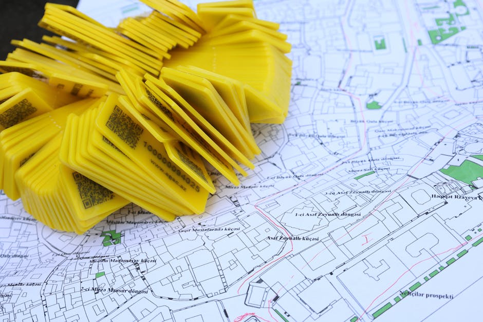
Photo by Tahir Xəlfəquliyev on Pexels
Geospatial technologies refer to tools and methods for acquiring, storing, analyzing, and visualizing geographically referenced data. These are essential for site selection, design, construction management, and infrastructure monitoring.
Core Geospatial Technologies
- Geographic Information Systems (GIS): Software for managing and analyzing spatial data. You can overlay different data layers (e.g., soil types, elevation, existing infrastructure) to make informed decisions.
- Global Navigation Satellite Systems (GNSS) / GPS: Provides precise positioning information, crucial for surveying, mapping, and machine control.
- Remote Sensing: Acquiring information about an object or phenomenon without making physical contact, often using satellites or drones (e.g., aerial photography, LiDAR).
Applications in Civil Engineering
- Site Analysis: Identifying suitable locations for new structures by analyzing terrain, soil, hydrology, and existing utilities.
- Route Planning: Optimizing roads, pipelines, and transmission lines considering environmental and economic factors.
- Construction Monitoring: Tracking progress, managing resources, and ensuring accuracy using GPS-enabled equipment.
- Asset Management: Inventorying and maintaining infrastructure assets like roads, bridges, and water systems.
- Environmental Impact Assessment: Modeling and visualizing environmental effects of projects.
The Intersection

Photo by Erik Mclean on Pexels
The real power comes when these fields combine. Imagine using drone-based LiDAR (remote sensing) to create a highly detailed 3D map of a site, then importing that into a GIS to analyze soil types (geospatial data combined with materials science input), and finally using this analysis to select the most appropriate foundation material (materials science decision) and design a structure.
graph TD
    A["Project Need / Problem"] --> B["Site Investigation & Data Acquisition"]
    B --> C["Geospatial Data Collection (GPS, Remote Sensing, Surveying)"]
    B --> D["Materials Data Collection (Lab Tests, Field Sampling)"]
    C --> E["GIS Analysis & Modeling (Terrain, Hydrology, Existing Infrastructure)"]
    D --> F["Materials Science Analysis (Strength, Durability, Cost)"]
    E & F --> G["Design & Planning (Structure, Foundations, Routes)"]
    G --> H["Material Selection"]
    G --> I["Construction & Monitoring (Using GPS for accuracy)"]
    H --> I
    I --> J["Asset Management & Maintenance"]
3. Worked Example
Let's say you're designing a new bridge over a river.
-
Geospatial Technologies: You'd first use GPS and LiDAR-equipped drones to survey the proposed bridge site, generating a highly accurate 3D digital elevation model (DEM) and orthophotos of the riverbanks and riverbed. This data is then loaded into a GIS. In the GIS, you overlay existing geological maps to understand the general soil and rock formations. You also analyze historical flood data, river flow patterns, and environmental sensitivity maps to identify optimal pier locations and potential constraints.
-
Materials Science: Based on the GIS analysis, you identify areas requiring deeper foundations. You then conduct borehole investigations and laboratory tests on soil and rock samples from these locations. These tests determine the unconfined compressive strength of rock, the shear strength and consolidation properties of soil, and the pH level of groundwater. With this data, you choose appropriate foundation types (e.g., piles, caissons) and select specific concrete mixes for the piers and deck that can withstand the expected loads, river corrosion, and freeze-thaw cycles. For the bridge superstructure, you evaluate different grades of steel or pre-stressed concrete based on required strength, weight, span length, and long-term durability in the river environment.
The geospatial data informs where to investigate materials, and the materials science data informs what to build with at those specific locations.
4. Key Takeaways
- Materials science is about understanding and selecting the right building blocks for infrastructure projects based on their properties and performance.
- Geospatial technologies provide the location intelligence needed for planning, designing, constructing, and managing civil engineering projects.
- GIS allows you to integrate and analyze various spatial data layers (e.g., topography, geology, hydrology, existing utilities).
- GNSS/GPS is crucial for accurate positioning in surveying, mapping, and construction operations.
- Remote sensing, often with drones, gathers detailed site information without direct contact, improving efficiency.
- Combining these fields leads to more informed decisions, better designs, and more efficient project execution.
Common Mistakes to Avoid

Photo by KATRIN BOLOVTSOVA on Pexels
- Ignoring Material Durability: Focusing only on initial strength can lead to premature failure due to environmental degradation (e.g., corrosion, freeze-thaw).
- Insufficient Site Investigation: Relying on old or generalized geospatial data without specific site investigation can lead to unexpected ground conditions and costly delays.
- Overlooking the Interplay: Treating materials selection and site analysis as separate, unrelated tasks rather than interconnected decisions.
- Not Utilizing Data Effectively: Collecting vast amounts of geospatial data but failing to properly analyze it using GIS tools to extract actionable insights.
5. Now Try It
You're tasked with planning a new pipeline route across varied terrain.
- What to do: Imagine you have access to a GIS with layers for elevation, soil types, land ownership, and environmentally sensitive areas. Describe how you would use these layers to propose an initial pipeline route, considering both material selection for the pipe itself (based on soil corrosivity) and minimizing environmental impact.
- What success looks like: You'll have outlined a logical sequence of steps using GIS analysis to identify potential routes, cross-referencing soil data to suggest appropriate pipe materials (e.g., coatings for corrosive soils), and highlighting areas to avoid based on environmental or ownership constraints. Your answer should demonstrate an understanding of how geospatial data influences material choices.
Frequently asked about Materials Science and Geospatial Technologies
Study this next
Get the full Fundamentals of Civil Engineering curriculum
Clone the complete plan to your dashboard for unlimited AI-generated notes, practice quizzes, and a personalised revision schedule.
Create Free Account