Orientation and Compass Usage
From the Geography unit test - Grade 9 curriculum
Orientation and Compass Usage
TL;DR
Orientation is knowing your position and direction relative to your surroundings. A compass helps you find magnetic North, which is key to navigating and using maps. Understanding how to align a map with North lets you figure out where you are and where you're going.
1. The Mental Model
Think of orientation as your personal GPS. You need to know where you are, which way you're facing, and how that relates to the world around you. A compass is your primary tool for figuring out "which way is North."
2. The Core Material
Orientation means understanding your location and direction. This is fundamental to using maps effectively. You need to know where you are on the map, and then which way is North in the real world to line things up.
Understanding the Compass
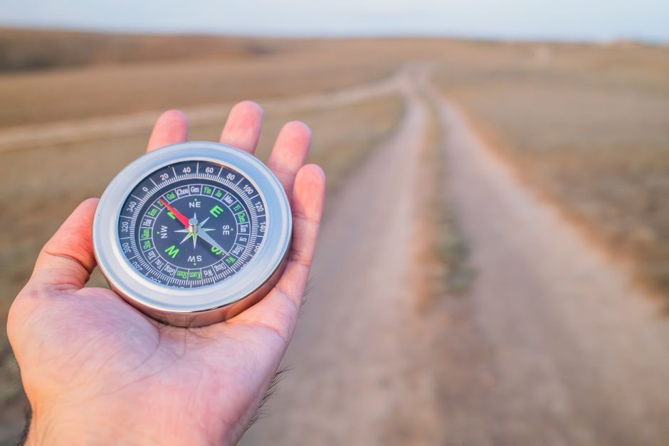
Photo by Steppe Walker on Pexels
A compass works by aligning a magnetized needle with the Earth's magnetic field. This needle always points to magnetic North.
- Needle: The part that spins and points North (often red or luminous).
- Housing/Dial: The rotating part with degree markings (0-360) and cardinal directions (N, S, E, W).
- Baseplate: The clear, flat part with a direction-of-travel arrow.
- Orienting Lines: Parallel lines on the compass housing used to align with map grid lines.
Cardinal and Intercardinal Directions

Photo by Richard REVEL on Pexels
These are the basic directions you'll use:
- Cardinal: North (N), South (S), East (E), West (W)
- Intercardinal: Northeast (NE), Southeast (SE), Southwest (SW), Northwest (NW)
You can further break these down (e.g., North-Northeast, NNE).
Finding Magnetic North
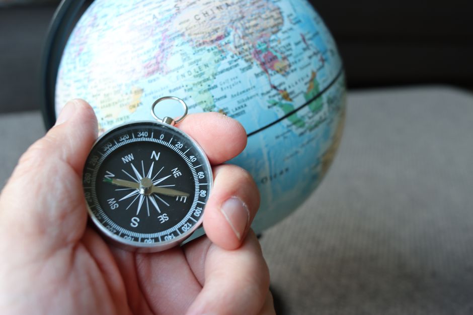
Photo by Joachim Schnürle on Pexels
Hold your compass flat and away from metal objects. The red (or North-pointing) end of the needle will point to magnetic North.
Orienting a Map with a Compass
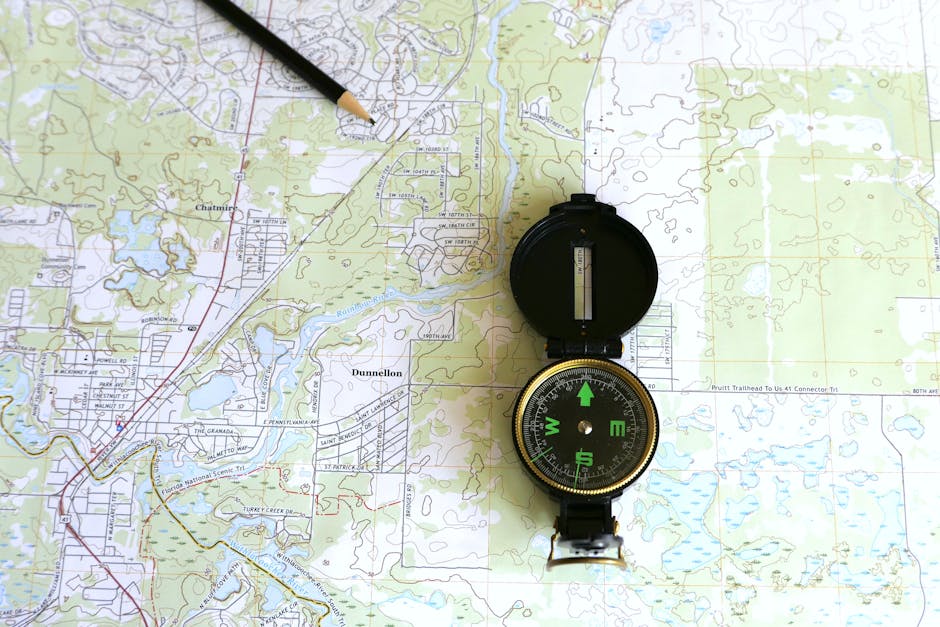
Photo by Larry Hyler on Pexels
This is a crucial skill. It makes the map "come alive" and match the real world around you.
- Place the map flat: Find a level surface.
- Place the compass on the map: Align the edge of your compass (or the direction-of-travel arrow) with one of the North-South grid lines on your map. Make sure the direction-of-travel arrow is pointing towards the top (North) of the map.
- Rotate the map and compass together: Keep the compass aligned with the grid line. Turn both the map and the compass as one unit until the North-pointing needle on your compass aligns with the orienting arrow (or orienting lines) inside the compass housing. Make sure the "N" on the compass dial is aligned with the needle.
- Map is oriented: Once the compass needle and the orienting arrow are aligned, your map is now oriented to the real world. North on the map is now North in your surroundings.
graph TD
    A["Place Map Flat"] --> B["Place Compass on Map"]
    B --> C["Align Compass Edge with Map North-South Grid Line"]
    C --> D["Ensure Compass Direction-of-Travel Points Map North"]
    D --> E["Rotate Map AND Compass Together"]
    E --> F["Align Compass Needle with Orienting Arrow in Housing"]
    F --> G["Map is Now Oriented to Real World!"]
3. Worked Example
Imagine you're standing at a park entrance and have a map of the park. You want to walk to a large oak tree marked on the map to your 'left'.
- You find a flat bench and lay your map down.
- You place your compass on the map, aligning the long edge of the compass with a vertical (North-South) grid line on the map, making sure the direction-of-travel arrow points towards the top of the map.
- You then rotate the entire map and compass together. You keep turning them until the red (North-pointing) end of your compass needle points exactly to the "N" (North) marked on the compass dial.
- Now, the North on your map is pointing exactly to the North in the real world. The oak tree that was to the 'left' on your un-oriented map is now physically to your left in the park, and you can start walking in the correct direction towards it.
4. Key Takeaways
- Orientation is about knowing your position and direction relative to your environment.
- A compass helps you find magnetic North, which is essential for navigation.
- Always hold your compass flat and away from metal objects for accurate readings.
- To orient a map, align its North-South grid lines with your compass's North-pointing needle.
- Once oriented, features on the map directly correspond to features in the real world around you.
- Understanding cardinal and intercardinal directions provides a framework for precise movement.
Common Mistakes to Avoid:
* Forgetting to hold the compass flat, leading to inaccurate readings.
* Placing the compass near metal objects (like phones or car keys) which can interfere with the needle.
* Confusing magnetic North (what your compass shows) with true North (what's on maps and used for navigation, often adjusted for declination).
* Not rotating the map and compass together when orienting, only rotating the compass housing.
* Not making sure the direction-of-travel arrow points to the map's North before rotating the entire setup.
5. Now Try It
Take a compass and a simple map (even a local street map or a printout of your backyard). Find a clear outdoor space. Practice finding magnetic North with your compass. Then, practice orienting your map: lay it flat, place the compass on it, align the compass edge with a North-South line on the map (arrow pointing up), and then rotate both until the compass needle aligns with the "N" on the dial. Once oriented, identify a nearby landmark on your map and point to it in the real world.
What success looks like: You can reliably find North with your compass and consistently orient your map so that real-world features match their positions on the map.
Frequently asked about Orientation and Compass Usage
Study this next
Get the full Geography unit test - Grade 9 curriculum
Clone the complete plan to your dashboard for unlimited AI-generated notes, practice quizzes, and a personalised revision schedule.
Create Free Account