Global Coordinate Systems: Latitude and Longitude
From the Geography unit test - Grade 9 curriculum
Global Coordinate Systems: Latitude and Longitude
TL;DR
You'll learn how latitude and longitude create a universal grid, letting you pinpoint any location on Earth. Latitude measures north-south position from the Equator, while longitude measures east-west position from the Prime Meridian. Together, these two numbers give every spot on our planet a unique address.
1. The Mental Model
Imagine Earth has an invisible grid wrapped around it, like lines on a basketball. This grid helps you give a precise address for any point on the surface, making it easy to find or describe locations globally.
2. The Core Material
Earth's global coordinate system uses two main measurements: latitude and longitude. Think of them as X and Y coordinates for a sphere.
Latitude: North-South Position
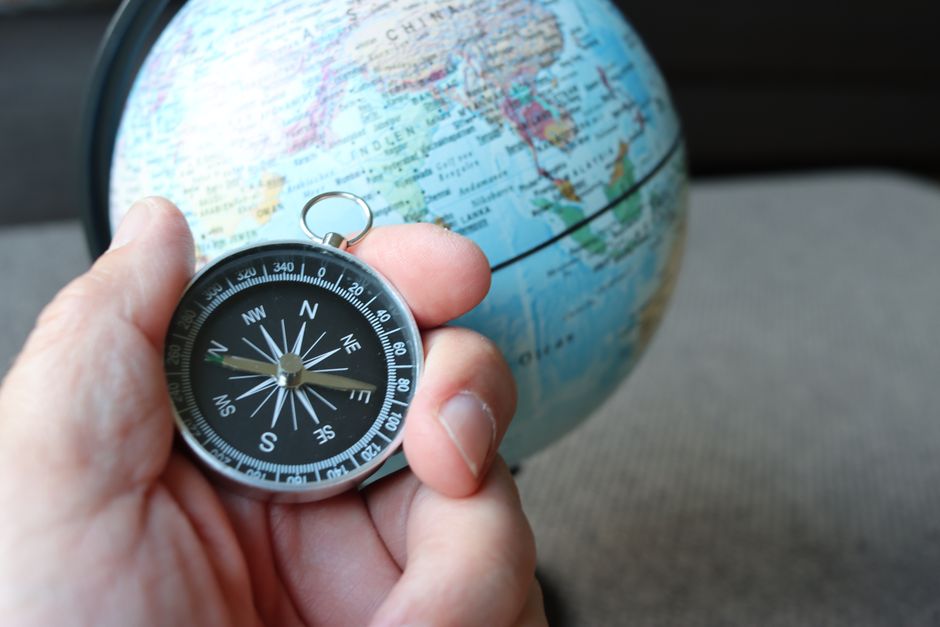
Photo by Joachim Schnürle on Pexels
Latitude lines, called parallels, run horizontally around the Earth, parallel to the Equator.
- The Equator is the most important parallel; it's 0 degrees latitude and divides Earth into the Northern and Southern Hemispheres.
- Latitude is measured in degrees (°), from 0° at the Equator up to 90° North (N) at the North Pole and 90° South (S) at the South Pole.
- Lines of latitude tell you how far north or south you are from the Equator.
Longitude: East-West Position
Photo by Joachim Schnürle on Pexels
Longitude lines, called meridians, run vertically from the North Pole to the South Pole.
- The Prime Meridian is the most important meridian; it's 0 degrees longitude and passes through Greenwich, England. It divides Earth into the Eastern and Western Hemispheres.
- Longitude is measured in degrees (°), from 0° at the Prime Meridian up to 180° East (E) or 180° West (W).
- Lines of longitude tell you how far east or west you are from the Prime Meridian.
- The 180° meridian is known as the International Date Line, roughly opposite the Prime Meridian.
Coordinates in Action

Photo by Mary Taylor on Pexels
When you see a location written as (Latitude, Longitude), like (40°N, 74°W), you're looking at its absolute address. You always list latitude first, then longitude.
Here's how these systems work together:
graph TD
    A["Earth's Surface"] --> B["Global Coordinate System"]

    B --> C["Latitude (North/South)"]
    B --> D["Longitude (East/West)"]

    C --> C1["0° Equator (Reference)"]
    C --> C2["90°N North Pole"]
    C --> C3["90°S South Pole"]
    C --> C4["Measured in Degrees (0°-90° N or S)"]

    D --> D1["0° Prime Meridian (Reference)"]
    D --> D2["180° International Date Line"]
    D --> D3["Measured in Degrees (0°-180° E or W)"]

    C4 & D3 --> E["Unique Location (Latitude, Longitude)"]
3. Worked Example
Let's find the approximate coordinates for Sydney, Australia.
- Is Sydney North or South of the Equator? Sydney is in the Southern Hemisphere. So its latitude will be "S".
- Roughly how far South? If the Equator is 0° and the South Pole is 90°S, Sydney is quite a bit south, around a third of the way. We'd estimate about 34°S.
- Is Sydney East or West of the Prime Meridian? Sydney is far to the east of the Prime Meridian. So its longitude will be "E".
- Roughly how far East? If the Prime Meridian is 0° and the International Date Line is 180°E, Sydney is more than halfway around. We'd estimate about 151°E.
So, the approximate coordinates for Sydney are (34°S, 151°E). (The actual coordinates are closer to 33.8°S, 151.2°E, which shows our estimate was pretty good!)
4. Key Takeaways
- Latitude lines run east-west, parallel to the Equator, measuring distance north or south.
- Longitude lines run north-south, from pole to pole, measuring distance east or west from the Prime Meridian.
- The Equator is 0° latitude; the Prime Meridian is 0° longitude.
- Coordinates are always written as (Latitude, Longitude), with degrees and N/S or E/W indicators.
- These two values create a unique "address" for any point on Earth.
Common Mistakes to Avoid:
- Confusing latitude and longitude – remember "lat is flat" (horizontal).
- Forgetting to include N/S or E/W with the degree measurement.
- Listing longitude before latitude – it's always latitude first.
- Thinking all lines of longitude are parallel – they meet at the poles.
5. Now Try It
Grab a globe or a world map that shows latitude and longitude lines. Pick three major cities (e.g., Paris, Tokyo, Rio de Janeiro) and, using the grid lines, estimate their latitude and longitude coordinates. Write them down, making sure to include N/S and E/W. Then, look up their actual coordinates online and compare how close your estimates were. Success means your estimates are within 5-10 degrees of the actual values.
Frequently asked about Global Coordinate Systems: Latitude and Longitude
Study this next
Get the full Geography unit test - Grade 9 curriculum
Clone the complete plan to your dashboard for unlimited AI-generated notes, practice quizzes, and a personalised revision schedule.
Create Free Account