Introduction to Geography and Physical Processes
From the geography curriculum
Introduction to Geography and Physical Processes
TL;DR
Geography is all about understanding where things are and why they're there, connecting human and physical aspects of our planet. Physical geography specifically looks at Earth's natural systems, like landforms, climate, and water, and how they interact. Learning this helps you see the big picture of our world's natural environments.
1. The Mental Model
Think of geography as the ultimate "where and why" science. It helps you connect the dots between the natural world and human activities, understanding how everything is linked across space. It's like having a map that not only shows you locations but also tells you the story behind them.
2. The Core Material
Geography is a vast field, but it generally splits into two main branches: human geography and physical geography. We're focusing on the physical side here, which deals with Earth's natural features and processes.
What is Geography?
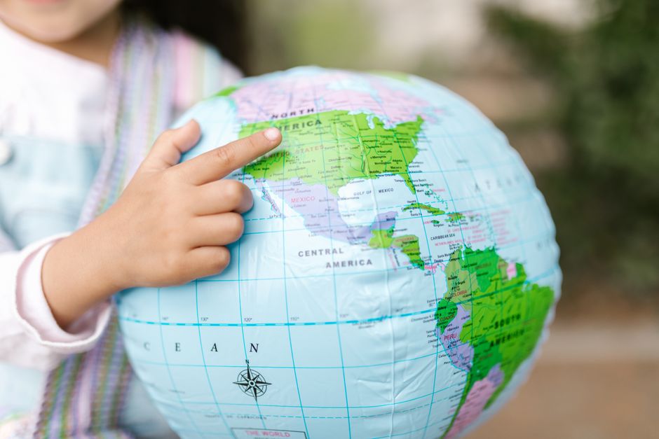
Photo by RDNE Stock project on Pexels
At its heart, geography is the study of the Earth's landscapes, peoples, places, and environments. It's not just memorizing capitals; it's about understanding spatial relationships and distributions. Why are deserts where they are? Why do some regions have more earthquakes? These are geographical questions.
Physical Geography: Earth's Natural Systems
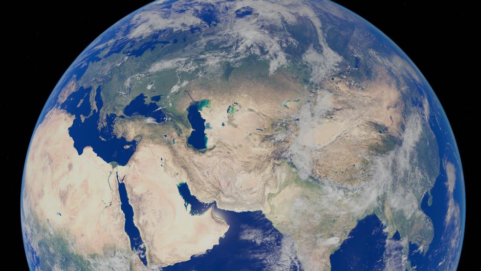
Photo by Zelch Csaba on Pexels
Physical geography specifically explores the natural processes that shape our planet. It covers things like:
- Geomorphology: The study of landforms (mountains, valleys, rivers) and the processes that create and change them.
- Climatology: The study of Earth's climate, including weather patterns, temperature, and precipitation.
- Hydrology: The study of water, its distribution, and movement on and below the Earth's surface.
- Biogeography: The study of the distribution of plants and animals, and how they relate to their environment.
These areas don't exist in isolation; they constantly interact. For example, climate influences the type of vegetation (biogeography), which in turn affects soil development (geomorphology) and water availability (hydrology).
Key Physical Processes

Photo by RDNE Stock project on Pexels
Understanding physical geography means understanding the processes that drive change. Here are a few big ones:
- Plate Tectonics: This is the big one for landforms! Earth's outer shell is broken into large plates that are constantly moving. This movement causes earthquakes, volcanic activity, and the formation of mountain ranges and ocean trenches.
- Weathering and Erosion: Weathering breaks down rocks into smaller pieces (e.g., by ice, wind, chemical reactions), and erosion moves these pieces from one place to another (e.g., by rivers, glaciers, wind, gravity). Together, they sculpt landscapes.
- The Water Cycle (Hydrologic Cycle): This describes the continuous movement of water on, above, and below the surface of the Earth. It involves evaporation, condensation, precipitation, and runoff, essential for life and shaping land.
- Atmospheric Circulation: This refers to the large-scale movement of air around the Earth, driven by solar heating and the Earth's rotation. It creates global wind patterns and dictates climate zones.
These processes are interconnected. Imagine how a mountain range formed by plate tectonics (process 1) can influence local weather patterns (process 4), which then leads to specific weathering and erosion (process 2) that carves valleys, and those valleys might then channel rivers (process 3).
Here's a simplified diagram showing how some of these physical processes are linked:
graph TD
    A["Solar Radiation"] --> B["Atmospheric Circulation"]
    B --> C["Weather Patterns (Rain/Temp)"]
    C --> D["Weathering & Erosion"]
    C --> E["Water Cycle"]
    F["Plate Tectonics"] --> G["Mountain Building"]
    F --> H["Volcanic Activity"]
    G --> D
    E --> D
    E --> I["River Flow"]
    D --> J["Sediment Transport"]
    I --> J
3. Worked Example
Let's consider the formation of the Himalayas. You know they're huge mountains, but why are they there?
It's primarily due to plate tectonics. The Indian Plate is slowly but powerfully colliding with the Eurasian Plate. Because both plates are continental crust (which is relatively light and buoyant), neither can easily slide under the other. Instead, the immense pressure causes the crust to buckle, fold, and thrust upwards. This ongoing collision is why the Himalayas are still rising today and why the region experiences frequent earthquakes. The extreme heights then influence local climate, leading to massive glaciers (part of the water cycle) and intense weathering and erosion by ice and water, constantly reshaping the peaks and valleys.
4. Key Takeaways
- Geography helps you understand the spatial distribution of phenomena and their interconnectedness.
- Physical geography focuses on Earth's natural systems like landforms, climate, and water.
- Plate tectonics is a fundamental process shaping Earth's crust, leading to mountains, volcanoes, and earthquakes.
- Weathering and erosion are constantly sculpting landscapes by breaking down and moving rock and soil.
- The water cycle is crucial for distributing water and is a major force in landform development.
- Atmospheric circulation drives global weather patterns and creates distinct climate zones.
Common Mistakes to Avoid:
- Don't confuse geography with just memorizing place names; it's about understanding processes.
- Don't think of physical processes as isolated; they constantly interact and influence each other.
- Avoid oversimplifying complex interactions; for example, climate isn't just temperature, it's also precipitation, wind, etc.
- Don't forget the human element; physical geography often provides the context for human activities.
5. Now Try It
Choose a significant natural feature near you (e.g., a specific hill, a river, a coastline). Spend 15 minutes researching or observing it. Try to identify at least two physical processes that have shaped it. For example, if it's a river, what kind of weathering and erosion are visible? If it's a hill, could plate tectonics or glaciation have played a role? What evidence do you see?
Frequently asked about Introduction to Geography and Physical Processes
Get the full geography curriculum
Clone the complete plan to your dashboard for unlimited AI-generated notes, practice quizzes, and a personalised revision schedule.
Create Free Account