Geophysical Processes: Tectonic Plates and Associated Hazards
From the Singapore Secondary 3G2 Geography syllabus curriculum
Geophysical Processes: Tectonic Plates and Associated Hazards
TL;DR
Earth's outer shell is broken into large pieces called tectonic plates, which are constantly moving. This movement causes tremendous forces that result in geological events like earthquakes, volcanoes, and tsunamis. Understanding plate tectonics helps us predict and prepare for these natural hazards.
1. The Mental Model
Imagine Earth's surface as a giant, cracked eggshell. These "cracks" divide the shell into several large pieces (plates) that are always slowly sliding around on the gooey yolk (mantle) underneath. When these pieces grind, collide, or pull apart, big things happen.
2. The Core Material
What are Tectonic Plates?
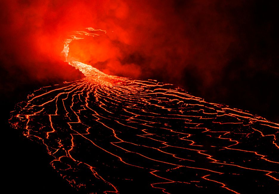
Photo by Daniel Torobekov on Pexels
Earth's outermost layer, the lithosphere, isn't a single, continuous shell. Instead, it's broken into huge, irregularly shaped slabs called tectonic plates. These plates include both continental crust (landmasses) and oceanic crust (ocean floors). They "float" on a semi-molten layer called the asthenosphere within the Earth's mantle.
Why do Plates Move?

Photo by Brett Jordan on Pexels
The main driver of plate movement is convection currents in the mantle. Imagine a pot of boiling water: hot water rises, cools, and sinks, creating a circulating motion. Similarly, hot, less dense material in the mantle rises, spreads out beneath the lithosphere, and then cools and sinks. This slow circulation drags the tectonic plates along with it.
Types of Plate Boundaries
Photo by Daniel Torobekov on Pexels
The interaction between plates at their edges, known as plate boundaries, is where most geological activity occurs. There are three main types:
- Divergent Boundaries: Plates move apart from each other.
- Features: Mid-ocean ridges, rift valleys, volcanoes (often less explosive).
- Example: Mid-Atlantic Ridge where the North American and Eurasian plates are separating.
- Convergent Boundaries: Plates move towards each other. This is where things get complicated, as the outcome depends on the type of crust involved:
- Oceanic-Continental: Denser oceanic plate subducts (slides) beneath the lighter continental plate.
- Features: Deep ocean trenches, volcanic arcs (explosive volcanoes), mountain ranges, strong earthquakes.
- Example: Andes Mountains (Nazca plate subducting under South American plate).
- Oceanic-Oceanic: One oceanic plate subducts beneath another.
- Features: Deep ocean trenches, island arcs (chains of volcanic islands), strong earthquakes.
- Example: Mariana Trench and Mariana Islands (Pacific plate subducting).
- Continental-Continental: Neither plate subducts significantly; instead, they collide and buckle upwards.
- Features: High mountain ranges (non-volcanic), strong earthquakes.
- Example: Himalayas (Indian plate colliding with Eurasian plate).
- Oceanic-Continental: Denser oceanic plate subducts (slides) beneath the lighter continental plate.
- Transform Boundaries: Plates slide past each other horizontally.
- Features: Fault lines, frequent shallow earthquakes (no volcanoes).
- Example: San Andreas Fault (Pacific plate sliding past North American plate).
graph TD
    A["Tectonic Plate Boundaries"] --> B["Divergent Boundary (Plates move apart)"]
    A --> C["Convergent Boundary (Plates move together)"]
    A --> D["Transform Boundary (Plates slide past)"]

    B --> B1["Features: Mid-ocean ridges, Rift valleys, Volcanoes"]
    C --> C1["Oceanic-Continental Collision"]
    C --> C2["Oceanic-Oceanic Collision"]
    C --> C3["Continental-Continental Collision"]
    D --> D1["Features: Fault lines, Earthquakes"]

    C1 --> C1a["Oceanic plate subducts"]
    C1a --> C1b["Features: Trenches, Volcanic arcs, Mountains, Earthquakes"]

    C2 --> C2a["One oceanic plate subducts"]
    C2a --> C2b["Features: Trenches, Island arcs, Earthquakes"]

    C3 --> C3a["Plates collide & buckle"]
    C3a --> C3b["Features: High mountain ranges (non-volcanic), Earthquakes"]
Associated Hazards
Photo by Atmadeep Das on Pexels
Plate movements are responsible for some of Earth's most destructive natural hazards:
- Earthquakes: Sudden shaking of the ground caused by the release of accumulated stress along fault lines, usually at plate boundaries. The intensity is measured by the Richter scale.
- Volcanoes: Openings in Earth's crust where molten rock (magma), ash, and gases erupt. They are common at divergent and oceanic-convergent boundaries. The type of eruption depends on magma viscosity.
- Tsunamis: Giant ocean waves caused by large-scale underwater disturbances, most commonly undersea earthquakes, but also volcanic eruptions or landslides.
3. Worked Example
Let's consider the region around Japan. Japan is located on the Pacific Ring of Fire, a zone of intense seismic and volcanic activity. Specifically, it lies where the Pacific Plate is subducting beneath the North American Plate (or Okhotsk Plate, a microplate of the North American Plate) and the Philippine Sea Plate.
This is an example of a convergent boundary, specifically oceanic-oceanic and oceanic-continental subduction.
- As the denser Pacific Plate plunges beneath the other plates, a deep ocean trench (like the Japan Trench) is formed.
- The friction and pressure from subduction cause the crust to melt, forming magma. This magma rises to the surface, creating volcanic island arcs like the Japanese archipelago itself.
- The immense stress built up during subduction is periodically released as powerful earthquakes, often occurring at significant depths.
- These underwater earthquakes can displace vast amounts of seawater, generating tsunamis that strike Japan's coasts.
So, Japan experiences frequent earthquakes, numerous active volcanoes, and is highly vulnerable to tsunamis, all direct consequences of its location at multiple active convergent plate boundaries.
4. Key Takeaways
- Tectonic plates are large pieces of Earth's lithosphere that constantly move.
- Mantle convection currents drive the movement of these plates.
- Divergent boundaries create new crust and often form mid-ocean ridges and rift valleys.
- Convergent boundaries involve plates colliding, leading to subduction, mountain building, volcanoes, and strong earthquakes.
- Transform boundaries cause plates to slide past each other horizontally, resulting in frequent shallow earthquakes.
- Earthquakes, volcanoes, and tsunamis are primary hazards directly linked to plate tectonic activity.
- The type of plate boundary determines the specific geological features and hazards present.
Common mistakes you should avoid:
- Confusing crustal types (oceanic vs. continental) when discussing convergent boundaries.
- Assuming all plate boundaries produce volcanoes (transform and continental-continental convergent boundaries generally don't).
- Thinking that plate movement is fast; it's incredibly slow, typically a few centimetres per year.
- Forgetting that tsunamis are usually caused by underwater earthquakes, not directly by volcanic eruptions (though eruptions can sometimes trigger them).
5. Now Try It
Imagine you're a geologist tasked with identifying potential hazards for a new coastal city. You're given a map showing a convergent boundary where an oceanic plate is subducting beneath a continental plate. List three major geological hazards you'd warn the city planners about and briefly explain why each hazard is likely to occur at this specific type of boundary. You have 15 minutes. Success looks like you identifying the three main hazards and accurately linking them to the subduction process.
Frequently asked about Geophysical Processes: Tectonic Plates and Associated Hazards
Study this next
Get the full Singapore Secondary 3G2 Geography syllabus curriculum
Clone the complete plan to your dashboard for unlimited AI-generated notes, practice quizzes, and a personalised revision schedule.
Create Free Account